Background
Established in 1955, the North Plains Groundwater Conservation District (NPGCD) is responsible for identifying future groundwater concerns in the northern Texas Panhandle and developing solutions before problems arise. Its work includes collecting groundwater data, performing water quality analyses, and conducting well system tests across the district.
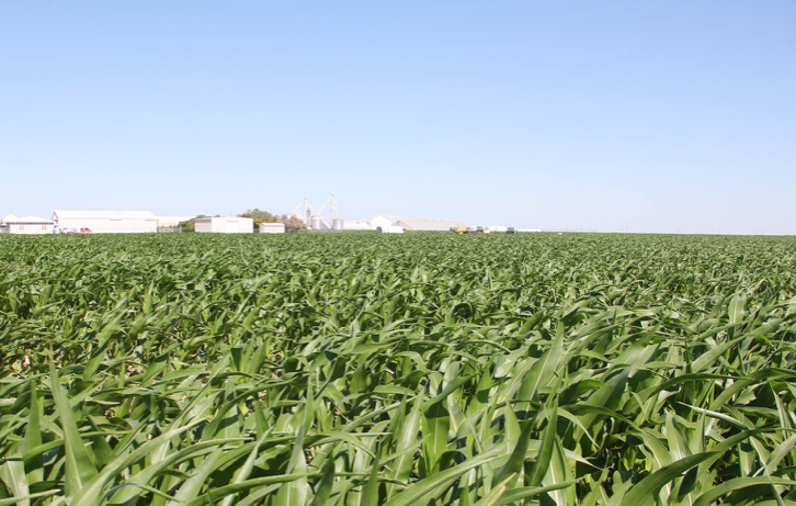
The district monitors the Ogallala aquifer, which supplies approximately 95 percent of the water used for crop irrigation in the region and also supports industrial and municipal water use. Due to very limited natural recharge, understanding groundwater decline and recovery rates is critical for sustainable water management and long‑term planning.
Challenge
To make informed decisions on groundwater management, the NPGCD needed more frequent and accessible water‑level data. Manual measurements, taken annually since the early 1980s, no longer provided sufficient insight into seasonal pumping impacts, decline rates, or long‑term trends across the aquifer. The district required a monitoring approach that would deliver near real‑time data across a large and geographically diverse area.
Solution
The groundwater monitoring network now spans approximately 165 miles east to west and up to 60 miles north to south, covering all or parts of eight Texas counties along the borders of Oklahoma and New Mexico.
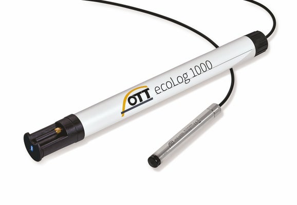
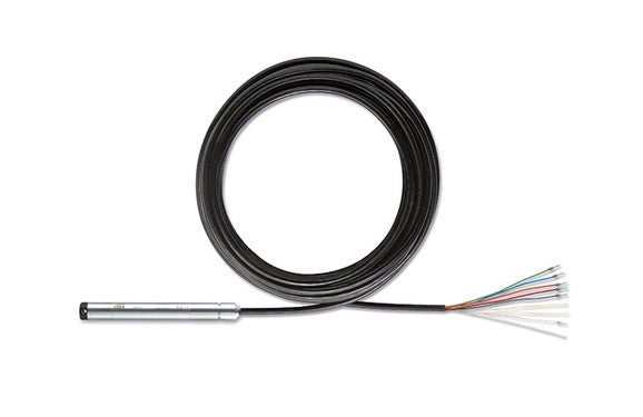
A total of 37 monitoring wells were equipped with OTT ecoLog 500 water level loggers for continuous groundwater measurement. To enable reliable data transmission from remote locations, 11 stations were fitted with Iridium Wellcaps and OTT PLS pressure sensors, allowing daily data transfer via satellite where cellular coverage was not available.
Telemetry enables all monitoring stations to transmit data directly to the district’s local servers, forming the basis for an online, interactive groundwater map that provides near real‑time visibility of aquifer conditions across the region.
Results
The NPGCD now operates a groundwater monitoring program consisting of 433 observation wells, with 48 sites monitored daily using OTT HydroMet and SUTRON technology. Each monitored site provides insight into water‑level depth, temperature, sensor status, and seasonal decline and recovery patterns.
Data is updated every 24 hours and made publicly available through an interactive online map, giving farmers, landowners, and local authorities transparent access to groundwater conditions without waiting for annual reports. This improved data availability supports better planning decisions, including evaluating new well locations, understanding pumping impacts, and estimating future costs.
Value of Monitoring
Near real‑time groundwater data has significantly improved transparency and decision‑making across the district. The monitoring program supports a wide range of stakeholders, from agricultural producers to local government agencies, and directly contributes to the NPGCD’s mission of conservation, protection, and preservation of groundwater resources.
By making aquifer data easily accessible and comparable across regions, the system helps users understand both local conditions and broader groundwater trends, strengthening long‑term water resource management across the Northern Texas Panhandle.